CMCC Seasonal Prediction System
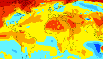
The Euro-Mediterranean Center on Climate Change operates routinely a Global Seasonal Ensemble Prediction System (CMCC-SPS3.5) based on a Coupled Atmosphere-Ocean-Land-Cryosphere Global Model.
CMCC Seasonal Prediction System is realized by CSP Division
Mediterranean Forecasting System
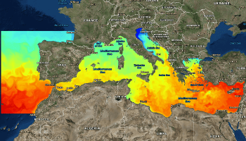
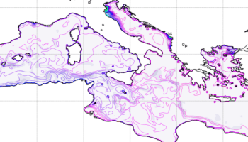
The Mediterranean Forecasting System (MFS) is a numerical ocean prediction system that produces analyses, reanalyses and short term forecasts for the entire Mediterranean Sea and its Atlantic ocean adjacent areas.
MFS is realized by OPA Division and ODA Division
Black Sea analysis and Forecasting System
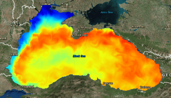
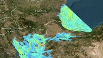
The Black Sea analysis and Forecasting System (BSFS) is one of the Production Units of the Black Sea Monitoring and Forecasting Centre (BS-MFC), developed in the frame of the Copernicus Marine Environment and Monitoring Service (CMEMS).
Black Sea analysis and Forecasting System is realized by OPA Division and ODA Division
Global Ocean Forecasting System (GOFS16)
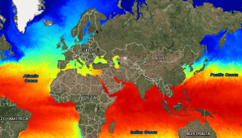
The Global Ocean Forecasting System (GOFS16) is a numerical ocean prediction system providing analyses and short term forecasts for the Global Ocean.
Global Ocean Forecasting System (GOFS16) is realized by OPA division and ODA Division
The Adriatic coastal Forecasting System (AdriFS)
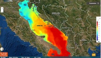
AdriFS is a numerical ocean prediction system that produces simulations and short-term hydrodynamic and wave forecasts for entire Adriatic Sea, with specific higher resolution in the overall coastal areas. The operational chain is based on a downscaling approach starting from CMEMS – MFS. AdriFS is realized by OPA Division.
Southern Adriatic Northern Ionian coastal Forecasting System (SANIFS)
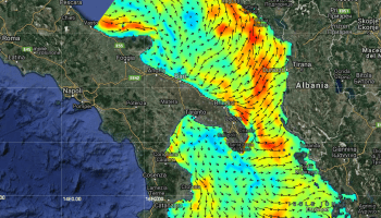
SANIFS is a numerical ocean prediction system that produces simulations and short-term hydrodynamic forecasts for Southern Adriatic Northern Ionian Seas, with specific higher resolution in coastal areas and harbors of Apulia region. The operational chain is based on a downscaling approach starting from CMEMS – MFS. SANIFS is realized by OPA Division.
Taranto Coastal Ocean Forecasting System
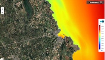
The Taranto coastal ocean forecasting system is a numerical ocean prediction system that produces simulations and short-term hydrodynamic and wave forecasts for Gulf of Taranto, with specific higher resolution in the Taranto Seas of Mar Grande and Mar Piccolo. The operational chain is based on a downscaling approach starting from CMEMS – MFS. The Taranto coastal ocean forecasting system is realized by OPA Division.
Otranto Coastal Ocean Forecasting System
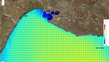
The Otranto coastal ocean forecasting system is a numerical ocean prediction system that produces simulations and short-term hydrodynamic and wave forecasts for Otranto Strait, with specific higher resolution in the Otranto coastal and harbour areas. The operational chain is based on a downscaling approach starting from CMEMS – MFS. The Otranto coastal ocean forecasting system is realized by OPA Division.
Fiumicino Coastal Ocean Forecasting System
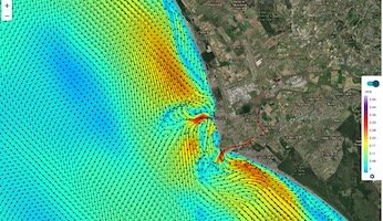
The Fiumicino coastal ocean forecasting system is a numerical ocean prediction system that produces simulations and short-term hydrodynamic and wave forecasts for Latium coasts, with specific focus on the river-sea continuum in coastal areas of the Tiber river. The operational chain is based on a downscaling approach starting from CMEMS – MFS. The Fiumicino coastal ocean forecasting system is realized by OPA Division within a collaboration research project with Autorità di Sistema Portuale del Mar Tirreno Centro Settentrionale and Università della Tuscia.
Savannah - Water Integrated Tool for ocean, Coastal and river Hydraulics forecasting
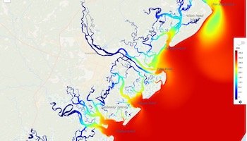
The S-WITCH (Savannah – Water Integrated Tool for ocean, Coastal and river Hydraulics forecasting) forecasting system is a numerical ocean prediction system that produces simulations and short-term hydrodynamic forecasts for the Georgia (GA, USA) coasts, with specific focus on the river-sea continuum in coastal areas of the Savannah river. The operational chain is based on a downscaling approach starting from CMEMS – GLOBAL. The S-WITCH forecasting system is realized by OPA Division in collaboration with Georgia Institute of Technology.
Dubai Urban Ocean Forecasting System
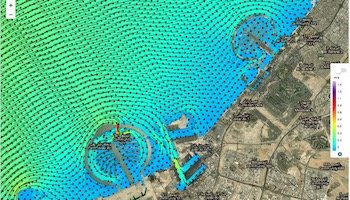
The Dubai urban ocean forecasting system is a numerical ocean prediction system that produces simulations and short-term hydrodynamic forecasts for the Dubai Emirate (UAE) coasts, with specific focus on the very local urban scales. The operational chain is based on a downscaling approach starting from CMEMS – GLOBAL. The Dubai urban ocean forecasting system is realized by OPA Division.
Fujairah Coastal Ocean Forecasting System
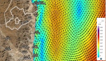
The Fujairah coastal ocean forecasting system is a numerical ocean prediction system that produces simulations and short-term hydrodynamic forecasts for the Fujairah Emirate (UAE) coasts, with specific focus on the very local harbour scales. The operational chain is based on a downscaling approach starting from CMEMS – GLOBAL. The Fujairah coastal ocean forecasting system is realized by OPA Division.
Mediterranean Ensemble Forecasting System
The Mediterranean Ensemble Forecasting System (MedEns) explores the forecast predictability of first type (Lorenz 1975, Schneider and Griffies 1999) by perturbing the initial condition used to produce the forecast. It is an EAS1-based ensemble system (MedENS) that will serve as base to develop an operational service for the CMEMS Mediterranean Sea Monitoring and Forecasting Center.
MedEns is realized by OPA Division.


