
Predicting the future of coastlines
One of the main impacts of a changing climate will be a changing coastal landscape, due to sea level rise. The CMCC Foundation created a dataset of future shoreline projections for a portion of the coastal territory of Lecce, Italy, on the southern Adriatic Sea, to inform both the local policy-makers and citizens, and to produce easily accessible information for all interested stakeholders.
The municipality of Lecce, Italy, includes a coastline that stretches along the Adriatic sea for almost 23 km. Within the framework of the city’s Urban Masterplan (PUG), the CMCC Foundation computed a dataset of a portion of the coastline of Lecce to assess the impact of climate change on the territory, specifically with respect to the sea-level rise.
The research was carried out by scientists of the CMCC’s Ocean Predictions and Applications (OPA) Division, in collaboration with Politecnico di Milano, to deliver an outcome aligned with the state-of-the-art, particularly concerning the vertical data.
The main objective was to determine the potentially flooded areas within the municipality, at various times horizons, namely the years 2030, 2050, and 2070, and for two climate scenarios (RCP4.5 and RCP8.5). The outcomes are now documented through both a presentation and a dataset which can be explored via Google Earth.
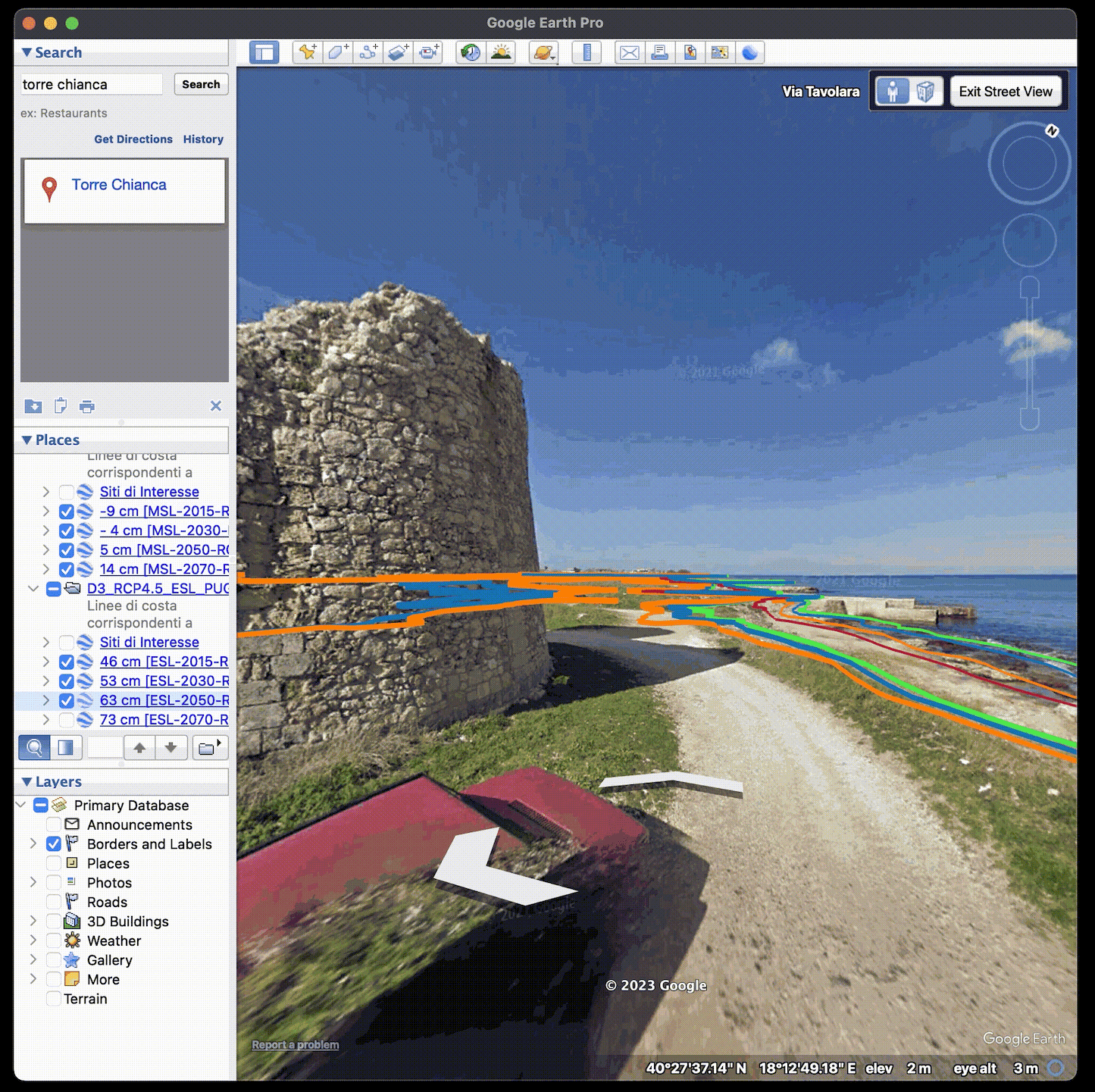
The dataset, which spans 8 km of coastlines, stems from an integration of a high-resolution digital terrain model provided by the municipality of Lecce with oceanographic information on future sea levels, in the frame of a “bathtub” model. This is a rather quick and detailed modelling approach that highlights the potential flooding of coastal areas that lay below a given sea level and are hydraulically connected to the shoreline.
“We found that the extent of expected coastal flooding is such that some roads and houses next to the shoreline could be at risk,” said Gianandrea Mannarini, of CMCC’s OPA division, and first author of the study. “Another important result is the spatial inhomogeneity of the flooded areas: the extent of the sea’s encroachment will depend on both the elevation of the coast and its slope. Notably, beaches where the dunal system was damaged or removed, such as those used for sports pitches, will be the first to be affected and will eventually experience the most significant impacts.”
The trend of mean sea-level rise along the coast of Lecce was confirmed through a comparison of results from a global climate model (IPCC AR5) and a subregional model (Adriaclim), that provides integrated modelling of the local water cycle in the Adriatic basin, including river discharge. For extreme sea levels, on the other hand, predictions from a validated global model were used, taking into account the tides, the storm surge, and the wave setup. For the application to Lecce’s territory, return periods of just one year were considered, implying that flooding events of even larger magnitude would be possible at a less-than-annual frequency. Due to a projected mean sea-level increase in the range of 10-20 cm by 2050 (with respect to 2015) and the shallow slope of most involved beaches, an irreversible marine encroachment of a few metres was predicted.
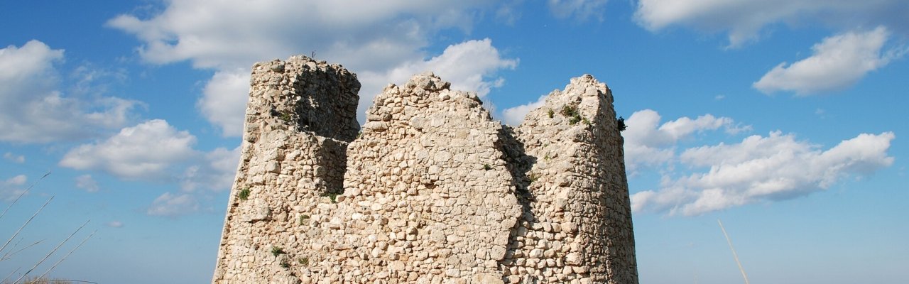
Starting from 2030, the results indicate the possibility of episodic flooding of some roads perpendicular to the coast during extreme sea-level events. Moreover, the dataset shows that sea level rise is expected to mainly affect the northern part of the territory between the historic watchtowers of Torre Rinalda and Torre Chianca, and especially in correspondence to the coastal marshes once present in this territory.
“We were motivated to deliver a piece of knowledge useful for the decision-making process. We did not simply provide an outcome downstream of our research activity, but made use of the questions and needs from the local decision makers to create a product tailored for practical use, which can be considered as a piece of actionable knowledge,” said Mannarini. “At the same time, we believe that the citizens’ awareness about sea level rise and its impact shall be tremendously raised by the easy-to-use visualisation capability of the numerical results through a user-friendly geographic information system such as Google Earth.”
More information:
- Presentation: https://zenodo.org/record/8009674
- Dataset: https://zenodo.org/record/8009645
- Reels: site1, site2, site3, site4, overview of littoral